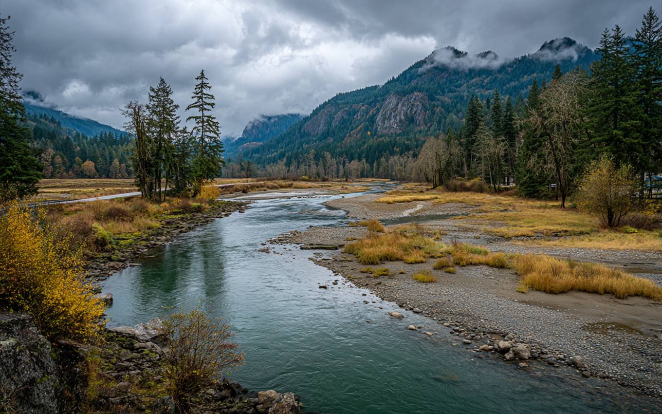
The Puyallup River runs out of the glaciers on Mount Rainier, picks up the Carbon River near Orting, and flows past downtown Puyallup on its way to Commencement Bay in Tacoma. Most of the year it's a gray, fast river between levees and gravel bars. In a big winter storm it rises, and the National Weather Service tracks how high at a gauge right in Puyallup. Knowing how to read that gauge is one of the most useful things a valley-floor homeowner can learn.
The Four Levels
The Weather Service describes a rising river using four stages, measured in feet at the gauge. The height is the water level at that spot, not the depth of water in anyone's yard.
| Stage | Height at the Puyallup gauge | What it generally means |
|---|---|---|
| Action | 24 ft | The river is high enough that agencies start watching closely; a good time to check the forecast and get ready |
| Minor flooding | 26.2 ft | Some low-lying land near the river starts to flood; little or no damage to buildings |
| Moderate flooding | 30 ft | Some buildings near the river may take water; some roads close |
| Major flooding | 31 ft | Extensive flooding; homes near the river and in low areas at risk |
The record crests at this gauge are old, the highest from 1917. Modern levees and flood control have changed how the river behaves since then. But the gauge still tells you when the river is getting close to the top of its banks.
Where to Watch It
The National Water Prediction Service posts the Puyallup gauge's current height and its forecast for the next several days, with the flood stages drawn on the chart. During a storm, the forecast line tells you whether the river is expected to cross a stage and roughly when. Upstream, a second gauge near Orting tracks the river's flow before it reaches the valley. On December 10, 2025, during the record storms that hit western Washington, that gauge logged one of its three highest flows on record.
Before the River Rises
If you live on the valley floor near the river:
- Bookmark the gauge and know which stage starts to affect your road.
- Sign up for alerts. The Weather Service and Pierce County issue flood watches and warnings.
- Move things up. Get documents, valuables and anything stored on the garage floor off the ground.
- Know your way out, and leave before the road is under water.
- Photograph every room in early fall, so a before-and-after record already exists.
When Water Comes In Anyway
Floodwater brings the outdoors in with it: silt, fuel, fertilizer, whatever it crossed. Cleanup comes before drying:
- Wait until it's safe. Watch for electrical hazards, gas and structural damage.
- Photograph the high-water line on walls and in the garage before anything is cleaned.
- Notify your insurance company.
- Call a restoration company. Mud comes out, porous materials the water touched usually go, surfaces get cleaned, and then the house is dried and checked with meters.
Outside water usually isn't covered by a standard homeowners policy; flood insurance is generally separate. Check your own policy.
High River, Wet Crawlspace
Even when the river stays inside its levees, a long stretch of high water raises the ground water across the valley floor. Crawlspaces on low lots can take water from below. If water shows up under the house during a high-river week and you can't find a plumbing leak, that's probably why.
After the Water Goes Down
Watch the crawlspace and the low side of the house for a week or two after a high-water event. Ground water can lag behind the river.
One Last Check
Keep the gauge page bookmarked through the winter.
Questions
Does the gauge height tell me if my house will flood?
Not directly. It tells you how high the river is at one spot. Whether water reaches a given house depends on its elevation, the levees, and the ground between. FEMA's map site lets you look up the mapped zone for any address.
My house is up on the hill. Do I need to care?
Less so. South Hill and the other high ground sit well above the river. The gauge matters most for the valley floor: downtown, North Puyallup, the valley farms and parts of Fife.
What about the lahar warnings?
Downtown Puyallup lies in the mapped hazard zone for Mount Rainier lahars, which are volcanic mudflows. That's a different hazard from river flooding, with its own warning system and evacuation routes. The U.S. Geological Survey and Pierce County publish that information.
Along the River
The gauge matters most in downtown Puyallup, North Puyallup, the Puyallup Valley, Orting and Fife. If water got in, start with water removal and carpet extraction.
Puyallup River at Puyallup gauge (NWPS) FEMA flood maps by address
The First Hour: What to Do Before Help Arrives
A short list for the first hour after you find water.

Wet Carpet and Pad: What Can Be Saved
Which layers usually stay, which go, and why time matters.